Launch of our New North Downs Way Station Map Boards, Tuesday 18th August at Hollingbourne Station
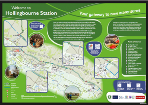
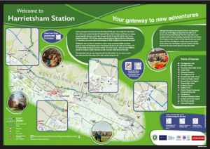
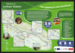
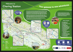
Working in collaboration with Kent County Council, we aim to increase sustainable tourism along the North Downs Way, by promoting rail to trail routes from and to Charing, Lenham, Harrietsham and Hollingbourne stations. All four stations along the Kent Downs Line are in easy walking distance of the trail and so provide ideal locations for installing interpretation boards and promoting walks between these stations, offering a choice of distances to suit a wider audience.
We are very grateful to Community Rail Network for funding the design and production of the four station map boards at a cost of £7,840 and to Southeastern for installing them at Hollingbourne, Harrietsham, Lenham and Charing (coming soon!) stations. This is part of a wider £16,603 project part funded by Farming in Protected Landscapes which included print media, radio ads, the landing page on Explore Kent, and Facebook advertising; all of which has supported sustainable tourism in the area and extended the typical summer tourist season to all year round.
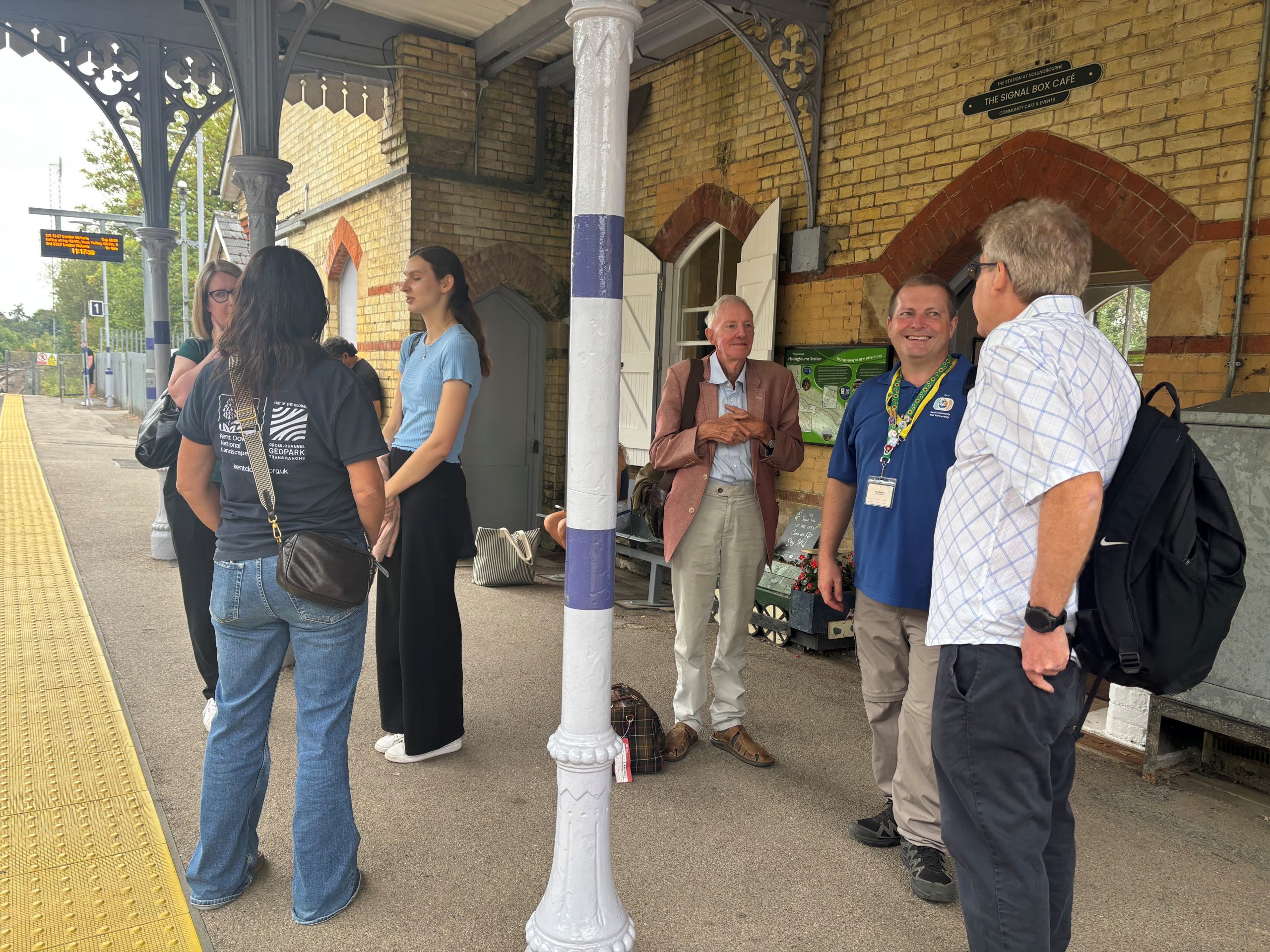
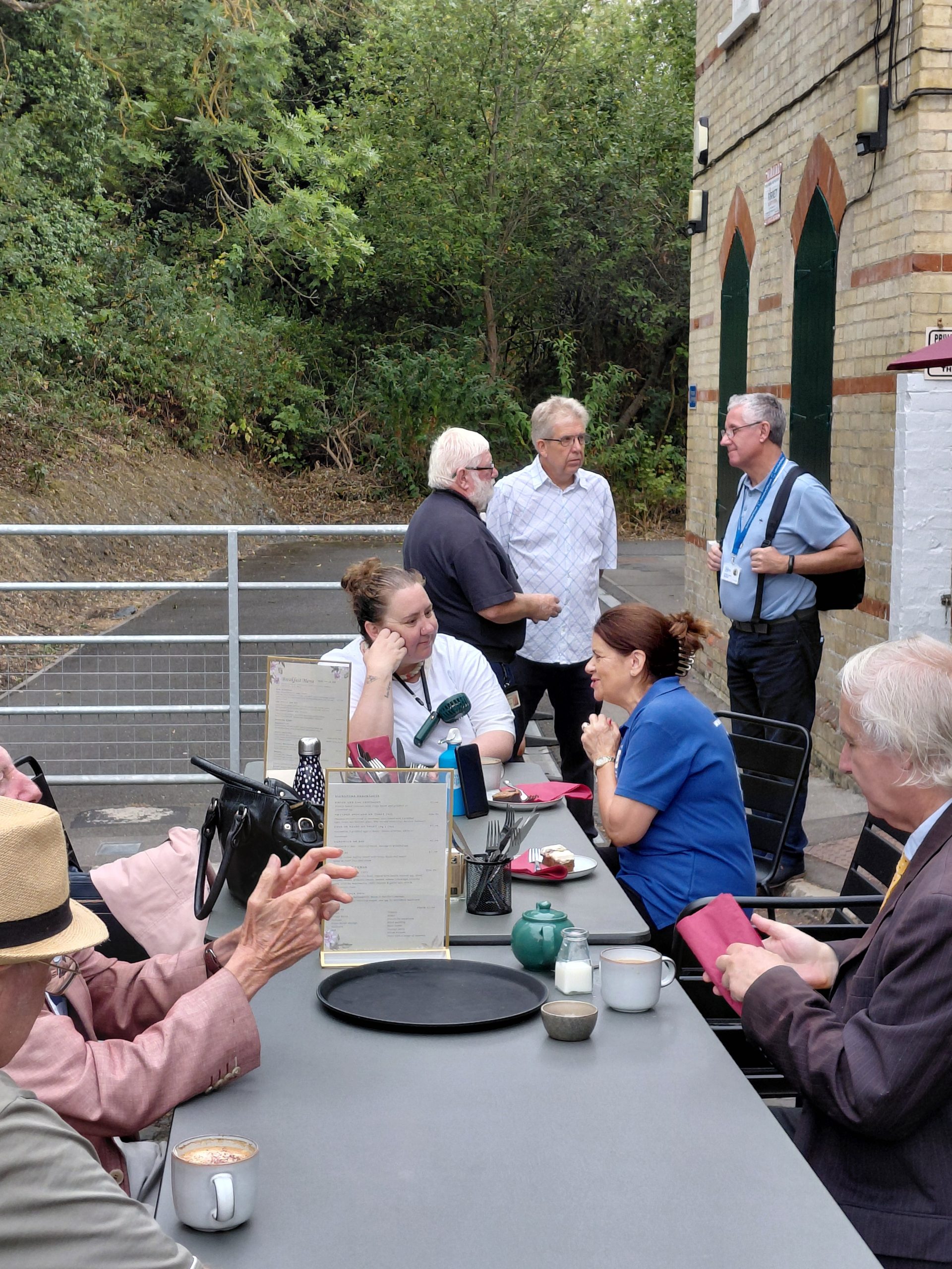
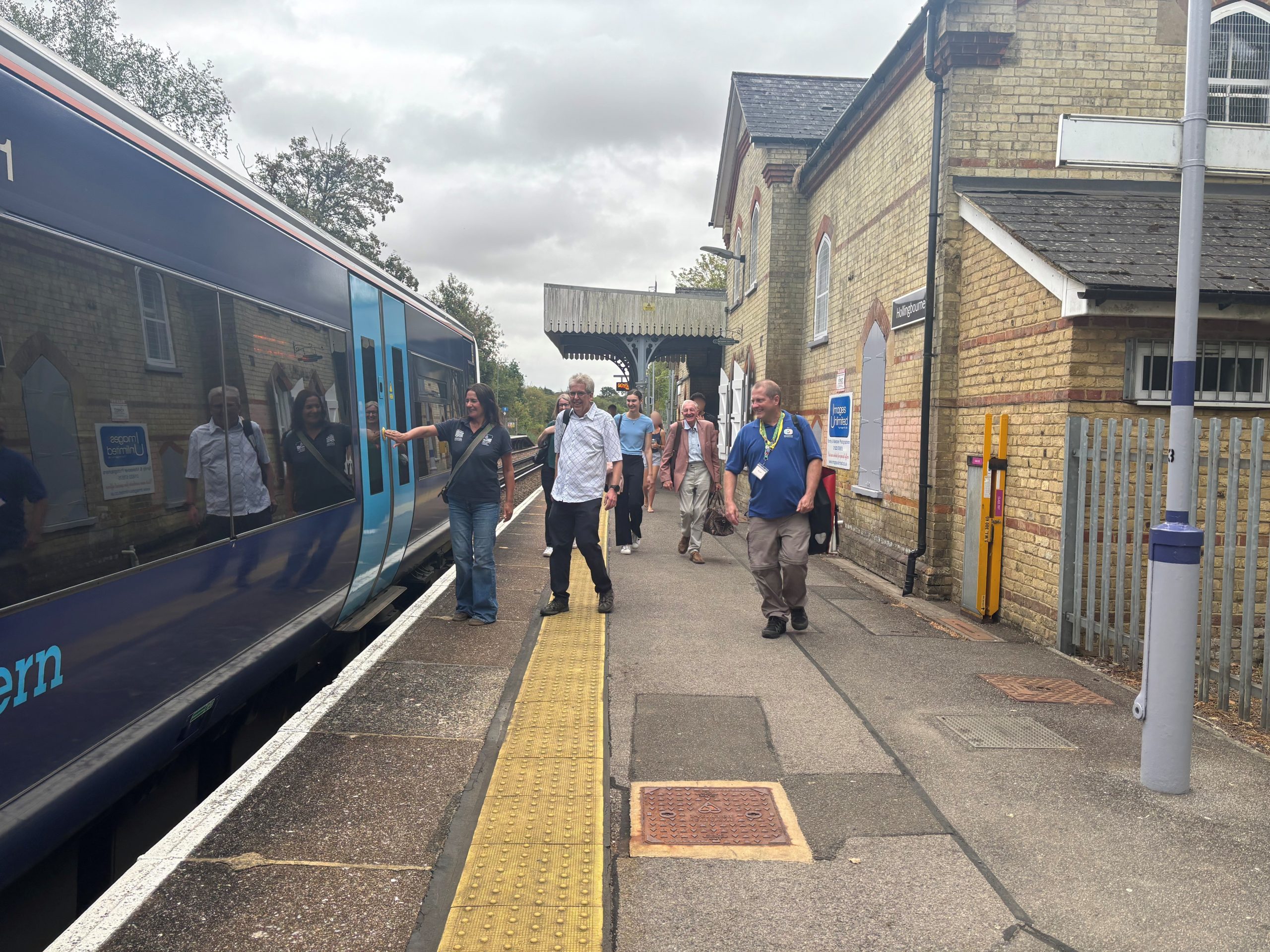
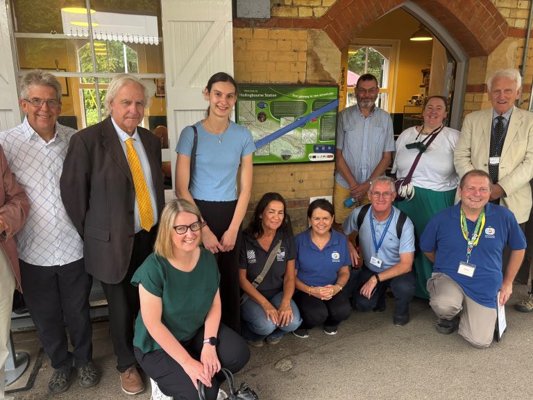
On Tuesday 18 August our stakeholders and partners joined together to launch the boards at Hollingbourne station. It was great to get together to celebrate the success of this project and discuss future plans.
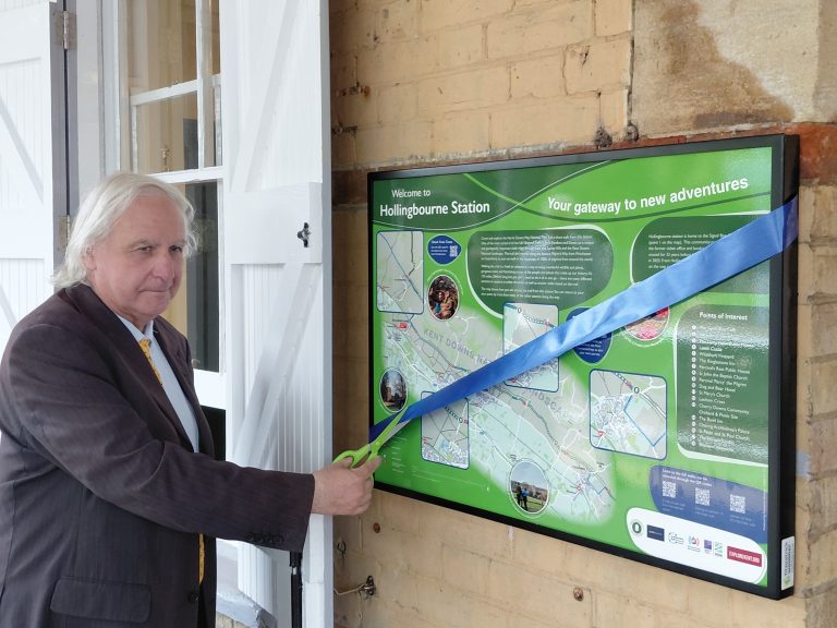
Thank you to Clive English our Kent Downs Line Chair for cutting the ribbon to launch the boards and to the team at the Signal Box Cafe for giving us such a warm welcome.
Many people who have attended our taster walks to promote the rail to trail routes have since undertaken several independent days out by train with friends and family, to explore the rail to trail routes between stations evidencing our aim has been achieved.
We are grateful for our ever growing partnerships with Explore Kent, the North Downs Way National Trail and Kent Downs National Landscape for contributing to the design of the boards, promoting our work and for part funding the taster walks.
The board is one of four at stations along the line, encouraging people to head out and explore the Kent Downs on their own self-led Tracks and Trails adventures.
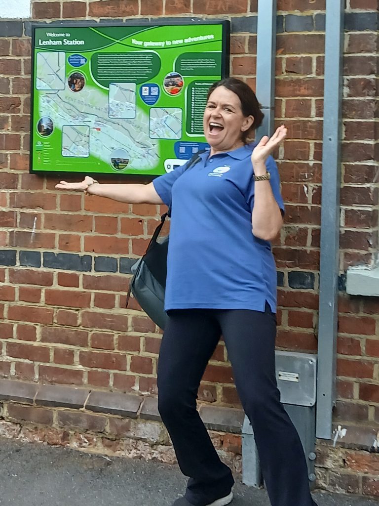
Jo the station officer at Lenham station shared that a walker had arrived at Lenham station last Saturday having travelled from Milton Keynes to join a group of walkers to explore the NDW trail. No other walkers appeared and it transpired that the walk was scheduled for the next day! Jo showed the walker our NDW map board on the station wall, he downloaded the QR code and was able to walk the trail independently, such is the proven value of these boards already.
Image courtesy of Colin Burcombe.
“Community Rail Network is proud to provide funding for the station map board now on display at Hollingbourne station. It provides a valuable resource for those wishing to explore the area and take advantage of the wonderful local area for walking and cycling. The Rail to Trail initiative is a great way of promoting the local area while using the trail which is such a sustainable form of transport and benefits so many across local communities” – Colin Burcombe, Community Rail Support Officer (Midlands & East), Community Rail Network.